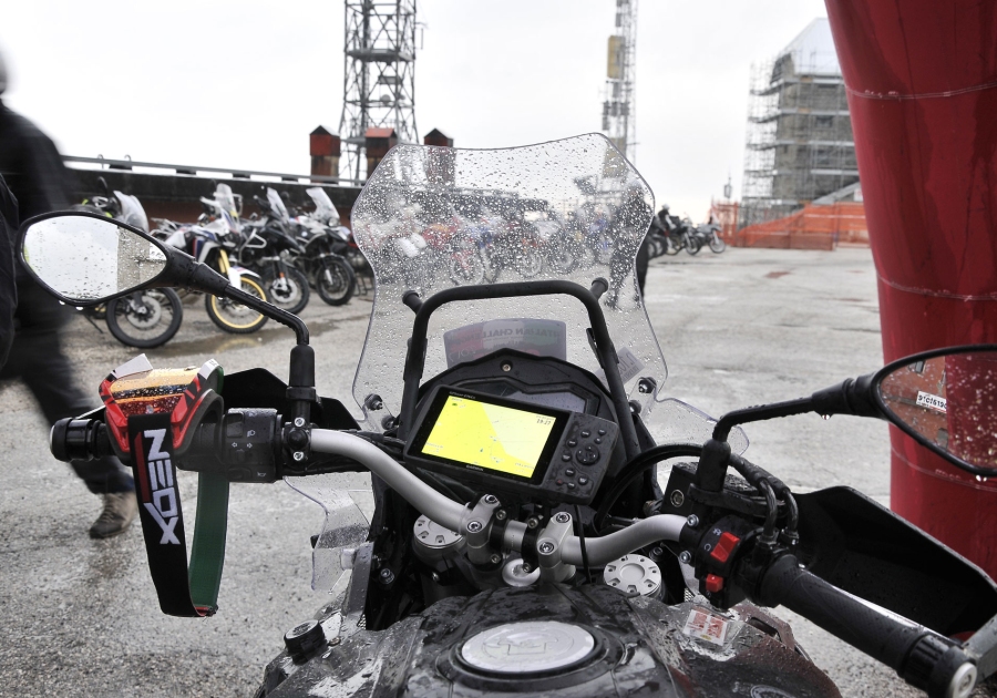
The G.P.S - Global Positioning System tool

The satellite navigator or G.P.S. , as the best tool not only for our travels but also in daily travel, in planning routes and in finding points of interest close to us wherever we are.
Increasingly used also in events Tourism navigation both for orientation and safety reasons.
Many companies produce precision G.P.S. instruments, first of all Garmin, leader worldwide in the research and production of terrestrial positioning devices capable of extremely precise and reliable calculations.
Let's try to find out more about this small accessory capable of incredibly technological functions.
The G.P.S. tool provides information on its position, longitude and height, coordinates of points chosen as way points, direction in which we are moving, characteristics and services on the territory (if the cartography is loaded), various information such as temperature, barometric parameters, astronomical, etc ...).
The three positions detected thanks to the satellites are as follows:
Latitude – is measured on the parallel as the distance angle from the equator + 90° to the NORTH or -90° to the SOUTH.
Longitude – measured from the reference meridian Greenwich with + 180° to the EAST (E) or -180° to the WEST (W)
Altitude – height above sea level, measured in meters or feet.
How does that work
In Space, to date, there are 30 operational satellites in orbit structured in six orbital planes: in every area of the world at least five are always visible.
The orbit information of each satellite is called ephemeris and makes up the almanac, the latter recorded in the instrument and kept constantly updated at each ignition. G.P.S. receivers use the almanac to know the position of each satellite.
In the signal indication, each satellite transmits the exact time of sending the signal; the GPS navigator does nothing but calculate the delay with which it receives the signal to know the exact distance of the satellite because it knows its exact position through the orbit almanac.By replicating this calculation for at least three or four satellites, the instrument can define the exact position in which it is on the surface of the earth.
The main characteristics of this mathematical procedure at very high distances are the following:
- Free system
- accuracy between 5 meters and 15 meters (instrument deviation)
- The instrument is operational in all weather conditions
- there is no sending of your location but only tracking
- The system provides only location coordinates
- all other data such as speed, distances, direction are always calculated by the GPS device in real time but not transmitted.
With regard to signal reception, it is good to consider which are the waterproof materials that can potentially hinder the reception process.
- metal
- thick masonry such as ceilings and palaces
- Some car windshields
- the human body (as it is composed of high amount of liquid density)
- water
- moutains
In fact, to ensure perfect reception of the signal from satellites it is necessary to pay attention to the position of your body (it must not completely cover the instrument), pay particular attention to the proximity of buildings or rocky walls, in the car where it is good to place the navigator as far ahead and as low as possible on the dashboard so as not to suffer the shielding of the windshield and roof.


